
SMART CITY INTELLIGENCE
City data sits in separate systems: traffic in one, utilities in another, incidents and citizen requests somewhere else. Smart city solutions from AppXcess connect those systems, read them together, and turn what they show into decisions — so traffic, infrastructure, utilities and public services are run on what is actually happening across the city.
Connected Infrastructure
Integrate road telemetry, lighting grids, and utilities.
Urban Intelligence
Read municipal data together, so planning rests on one picture.
Citizen Services
Provide accessible digital portals and responsive feedback.
Sustainable Operations
Track energy, water and waste against demand, not against a fixed schedule.
Smart City Platform
Smart city technology usually arrives one system at a time: a traffic platform, a utility SCADA, a waste route planner, a permit portal. We connect transportation, utilities, infrastructure and public services into one operating picture rather than another dashboard beside the others.
Unified Operations
Establish central visibility across transportation grids, electricity lines, and water utility telemetry.
Connected Services
Integrate citizen parking portals, permit submissions, and waste status telemetry into one ecosystem.

Real-Time Visibility
Deliver instant alerts and tracking across utility grids, incident pathways, and environmental monitor lines.
How City Data Becomes a Decision
Four stages, each feeding the next. Useful to read whether you run the department or the systems behind it.
IoT & Data Sources
Traffic sensors, utility meters, waste collection routes, CCTV events, asset inspections and citizen requests — most of it already exists, in systems that cannot see each other.
We connect to what you already run rather than asking you to replace it.
AI & Analytics
Smart city AI solutions earn their place here: feeds are cleaned, aligned to one set of definitions and read together, so you learn what is normal for this junction on a Tuesday, which assets are degrading, and where demand is shifting.
This is where a reading becomes a pattern rather than a number on a screen.
Real-Time Insights
The patterns surface as views each team can act on: congestion building on a corridor, pressure dropping in a water main, a bin route running heavy, a spike in requests for one service.
Each insight arrives with where it came from, so it can be trusted or challenged.
Automated Action
Some responses are automatic — a signal plan adjusts, a work order is raised, a crew is proposed. Others go to a person, because a decision affecting residents should have someone accountable for it.
What follows is recorded, and becomes data for the next cycle.
The integration and modelling underneath this is our Data & AI capability; here it is pointed at city systems rather than enterprise ones.
Traffic Analytics
Improve mobility through intelligent traffic flow analysis, congestion insights, and transportation optimization.
Mobility Insights
Recognize historic gridlock trends and pedestrian delays across intersection pathways.
Congestion Analysis
Calculate grid density spikes during seasonal shifts and bad weather to adjust detour plans.
Traffic Optimization
Coordinate stoplight intervals dynamically, minimizing carbon outputs at idling junctions.
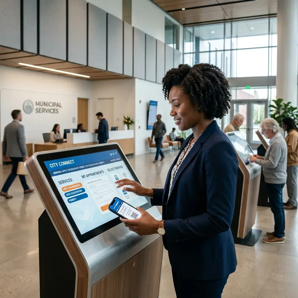
Incident Management
Coordinate resources and respond effectively to operational incidents through intelligent workflows and situational awareness.
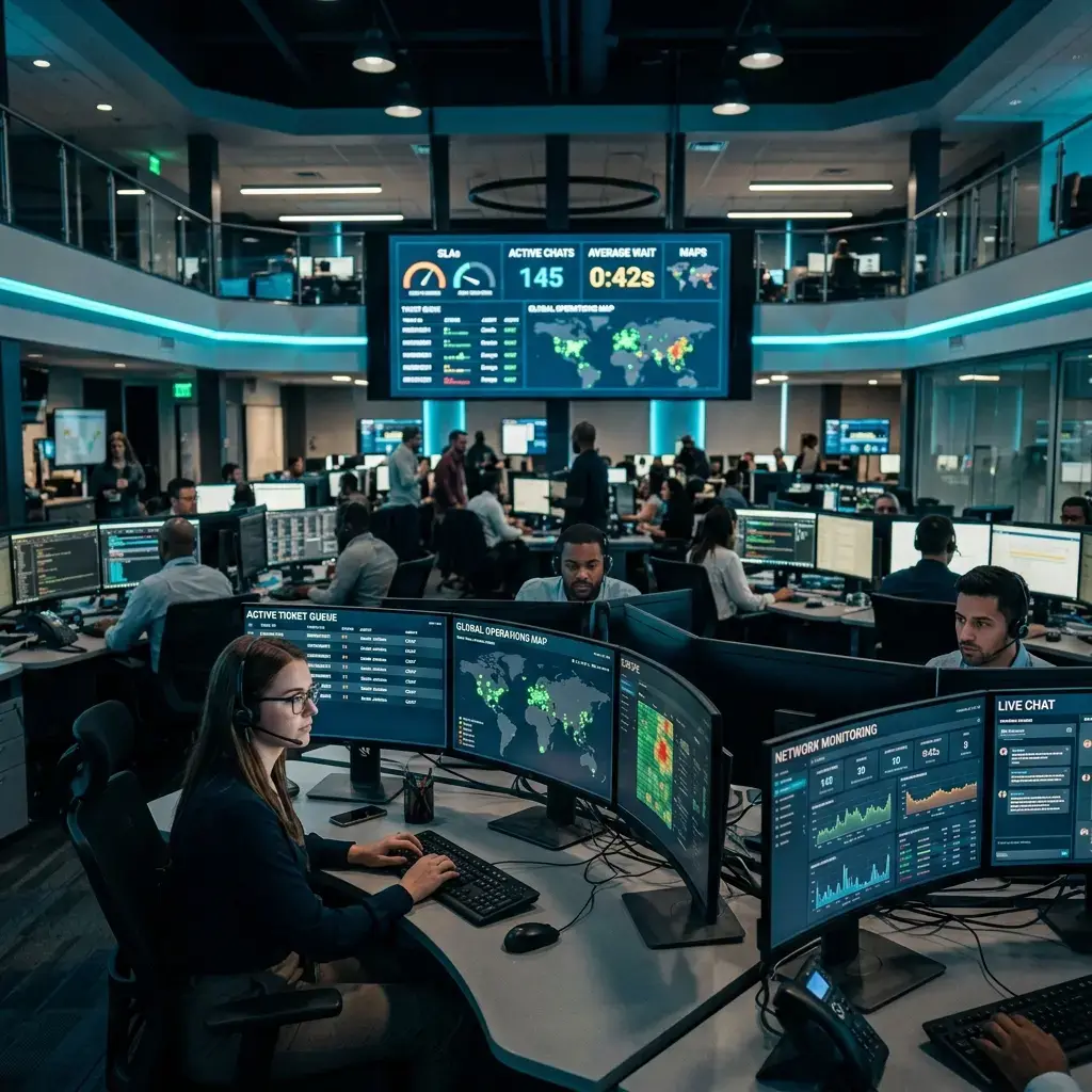
Incident Detection
Automate hazard, flood, and grid failure detection by tracking sensor spikes in real-time.
Resource Coordination
Map civic vehicles, utility staff, and emergency teams on a shared operations grid.
Response Optimization
Generate optimal vehicle dispatch routes automatically, bypassing detours and gridlock.
An incident is reported to one department while the teams who need to act sit in another system, so the first minutes go on phone calls.
One operational picture across dispatch, field crews and sensor alerts, with the incident record written as it happens rather than afterwards.
Responders work from the same map and the same facts, and the review afterwards has a record it can rely on.
Citizen Engagement
Enable stronger communication between cities and citizens through responsive services, feedback channels, and community participation.
Simulate citizen service request logs and community suggestions routed to municipal planners.
No submissions posted yet. Submit a suggestion above.
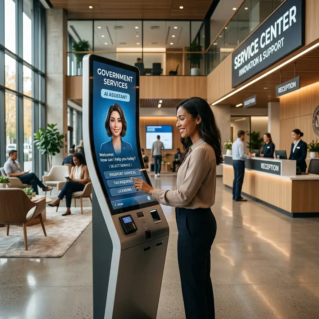
Service Accessibility
Provide mobile-friendly citizen applications.
Public Feedback
Compile neighborhood reviews and service satisfaction rates.
Urban Insights
Transform urban data into actionable intelligence that supports planning, sustainability, and long-term development.
Growth Intelligence
Recognize localized zoning expansion requests and residential development density metrics.
Urban Planning
Model green space distributions, public school proximity, and retail access ranges.
Strategic Visibility
Forecast carbon offsets and regional power footprints across decades of construction planning.
Planning decisions are argued from different datasets, and the effect of a proposal on traffic, utilities or services is estimated department by department.
Density, movement and service-demand data modelled together, so a proposed change can be examined across the systems it touches.
Planning officers and elected members review the same evidence, and the reasoning behind a decision is on record.

Infrastructure Monitoring
Maintain visibility across critical infrastructure assets to improve reliability, sustainability, and operational performance.

Asset Visibility
Monitor utility pipelines, electrical substations, and structural highway components continuously.
Performance Tracking
Aggregate power output variables, water pressure readings, and grid load spikes in real-time.
Service Continuity
Enable automated backup power routing and pipeline bypass protocols when component failure spikes.
Digital Twin Platforms
Create virtual city representations that enable simulation, planning, optimization, and operational decision-making.
Environment Modeling
Map physical buildings, utility networks, and municipal transit paths into high-fidelity digital models.
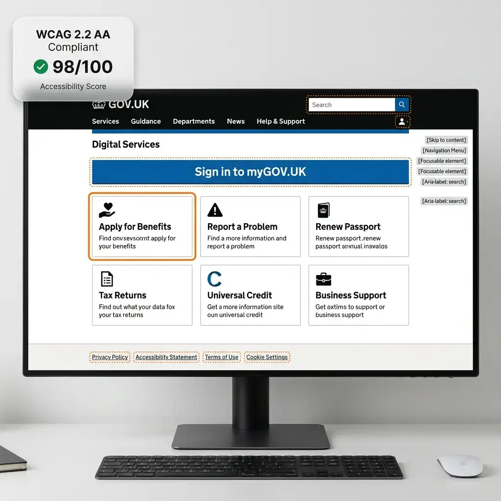
Scenario Simulation
Simulate extreme weather events, utility outages, and traffic detours to model city resiliency.
Planning Optimization
Analyze virtual developmental options, measuring environmental footprint offsets before physical construction begins.
Changes to roads, utilities or buildings are committed before anyone can see how they behave alongside everything else in the area.
A spatial model of the assets and networks you operate, where a proposed change can be run as a scenario and compared against current conditions.
Options are compared before capital is committed, and the assumptions behind each one stay visible.
IoT Analytics
Collect and analyze information from connected sensors, devices, and infrastructure systems to improve city operations.
Sensor Intelligence
Process real-time telemetry from thousands of smart streetlights, water valves, and carbon sensors.
Connected Systems
Establish continuous low-latency edge connections between node matrices and centralized databases.
Operational Visibility
Filter out system telemetry noise, presenting only the core metrics that impact city service response plans.

Predictive Maintenance
Anticipate maintenance requirements before failures occur, helping cities reduce downtime and extend asset life.
Asset Anomaly Detection
Perform high-frequency sensor scans and anomaly profiling to catch thermal or vibrational spikes before physical damage.
Predictive accuracy metrics evaluated through high-fidelity multi-variable simulation runs.

Assets are maintained on a calendar rather than on condition, so some are serviced early and others fail in service.
Sensor and inspection history read together to rank assets by condition, with work orders raised against the ranking.
Crews are sent where the condition data points rather than where the schedule says, and the reasoning is auditable.
Smart Infrastructure Intelligence
Transform infrastructure assets into intelligent systems capable of continuous optimization and operational improvement.
Infrastructure Intelligence
Equip road crossings, pipeline junctions, and streetlights with edge computing hardware to allow localized decisions.
Optimization Insights
Expose structural bottlenecks, thermal leaks, grid load redundancies, and resource utilization gaps using continuous sensor auditing and predictive monitoring.
Operational Efficiency
Automate detour triggers, municipal lighting schedules, and water routing protocols to maximize efficiency.

City Operations Dashboard
A smart city management platform is only useful if a director can read it in a meeting. This view stays on the measures leadership acts on: transit, utility, waste and incident performance, without the monitoring detail each team already has.
Signal Timing
Junction demand read from your own traffic sensors.
Idling & Emissions
Measured at junctions so changes can be evaluated.
Transit Punctuality
Scheduled against actual arrivals, route by route.
Each department reports its own performance its own way, so a city-wide view has to be assembled by hand before every meeting.
Transit, utility, waste and incident measures published on definitions agreed across departments, from the systems that already hold them.
Leadership discusses what to do about a number rather than whose number is right.

Built for Infrastructure and Citizen Data
Smart city systems reach traffic control, utility networks and records about residents. These are the controls that decision gets made on.
Data Protection
Movement, utility and service data can identify people when combined, even when no single feed does.
Data classified by sensitivity, aggregated or anonymised where the use case allows it, and retained on the schedule your records policy sets.
Access Control
A traffic operator, a utility engineer and a planning officer need different slices of the same platform.
Role-based access tied to the job someone does, with every access attributable to a named person.
Infrastructure Security
Systems that influence signals, pumps or alarms are a different risk class from a reporting dashboard.
Network segmentation, monitoring and incident response around the operational systems, not just the analytics on top.
Governance
When a system proposes an action affecting residents, someone has to be answerable for what it did.
Defined boundaries for what runs automatically and what needs a person, with the decision and its inputs recorded.
Privacy by Design
Cameras and sensors collect more than the purpose requires unless the purpose is written down first.
Each feed scoped to a stated purpose, with what is collected and how long it is kept agreed before deployment.
Deployment Control
Some city data cannot sit in a shared cloud region, and some networks cannot reach the internet at all.
Cloud, hybrid or on-premise inside infrastructure the authority runs. Where it sits is your policy decision.
Two of these have a page of their own. Sovereign AI covers running models and data entirely inside a boundary the authority controls, which is the answer when city or citizen data cannot leave the jurisdiction. Cybersecurity covers the monitoring, identity and incident response around the infrastructure itself.
Related Solutions
This page stays on city-level operations: streets, networks, assets and the services delivered across them. Two neighbouring pages cover the ground either side.
Smart City Intelligence
You are here. Intelligent city solutions across traffic and mobility, public safety, utilities, waste, infrastructure condition and citizen services — the operational layer of a city, read together.
Public Sector & Government
For the wider public-sector question: citizen services, case and document work, government knowledge management and secure AI adoption across departments. Start there if your remit is broader than urban operations.
Explore Government AIEnterprise Intelligence
The same decision-intelligence thinking applied to an enterprise rather than a city — connecting organisational data, documents and analytics into one picture for leadership.
Explore Enterprise IntelligenceBuild Smarter Cities Through Intelligent Operations
Tell us which parts of the city are hardest to run today and what data already exists behind them. We will map where intelligence helps, where it does not, and what a first phase would involve.